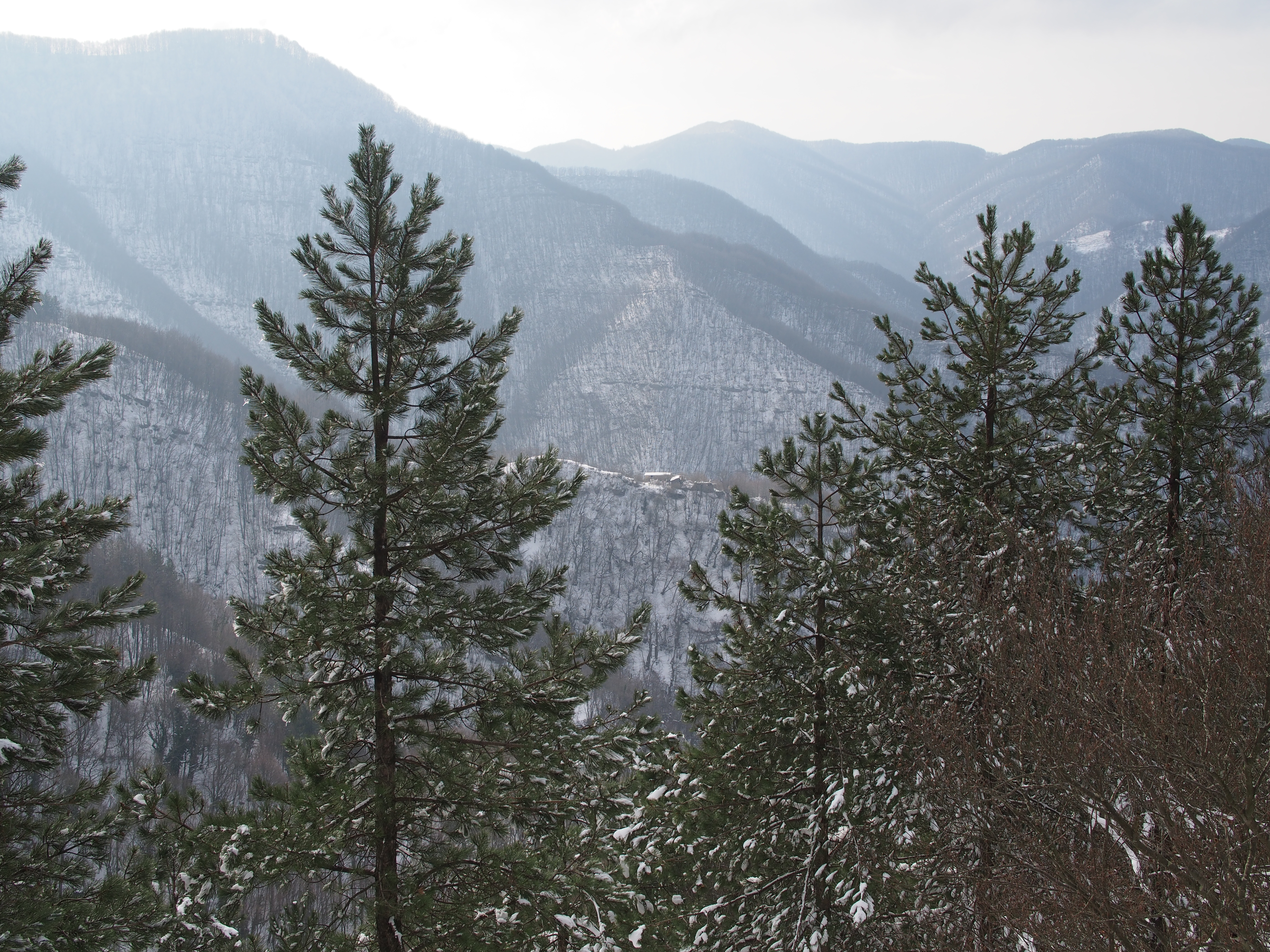
On January 22, 2017, we were hiking along the trail number 739 and looking toward South we saw some small stone cabins, I took the following picture:
I marked some waypoints with the GPS along the trail. At each waypoint I read the bearing toward the cabins with the aid of a simple SILVA compass. Each waypoint is marked with the blue marker in the following map; the red bearing was 160°; the green bearing was 200°; the blue bearing was 215° and the yellow bearing was 230°.
With the help of the Latitude/longitude spherical geodesy tools by Chris Veness I compute the "endpoints" for my bearings and I draw the rhumb lines in the map; the lines are drawn through Leaflet on the map provided by OpenStreetMap and by OpenTopoMap.
There are three small cabins to the South of trail 739, namely Capanni, Ca` di Vestro and Pallereto; the four rhumb lines do not intersect at one point and so I solved the linear system with the pseudoinverse (thanks to Numeric Javascript) in order to get a best intersection in the Least Squares sense; the nearest cabin to the best intersection is Pallereto and having a look at the contour lines (isohypses) I can confirm that Pallereto is the subject of my picture.
The rhumb line intersection problem was solved approximating them to planar segments.